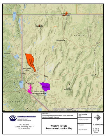
Coral Reef Project – Mapping and Lab Support
USGS – Pacific Coastal and Marine Science Center
Assess the health and status of coral reefs in the U.S. and U.S.-Affiliated Pacific Islands.
This project falls under the Coastal and Marine Ecosystems Science research theme which is a program within USGS’s Natural Hazards mission area. NSA staff is mapping U.S. Coral Reef Task Force designated Priority Study Areas such as the coral reef in Faga‘alu Bay, Tutuila, American Samoa and various locations in the Hawaiian Islands.

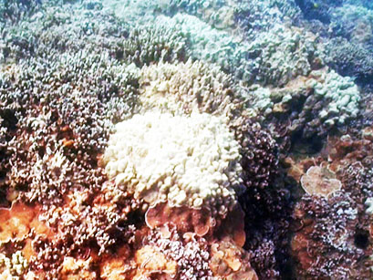
Faga’alu Bay Reef 

Additionally, the project involves acquisition and maintenance of geospatial databases for the Coral Reef Project and Marine Geomorphology, Evolution, and Habitats Project using ArcGIS and other various software packages. Figures and maps are also generated for publication and produces video sequences for the Coral Reef Project public relations. Finally, as a part of the project, NSA staff is assisting with the deployment of several passive membrane samplers in West Maui to assess organic compounds and contaminant inputs to diverse shallow water coral reef ecosystems.