NSA has provided GIS services PC ARC/INFO since the late 1980’s and an ESRI Business Partner since the mid-’90s. NSA staff is proficient with all ESRI software products including workstation ARC/INFO®, ArcIMS®, ArcGIS®, and other ArcGIS-basedGIS software.
NSA has completed over 500 mapping projects, including parcel data, roadways, contours, land use features, soils, wetland boundaries, and land acquisition suitability criteria determinations.
01
AutoCAD and ARC/INFO
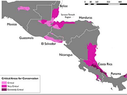
NSA mapped international rural settlement areas in El Salvador, Central America, utilizing community infrastructure and natural features using AutoCAD and ARC/INFO.
02
GIS Mapping System
NSA developed a GIS mapping system for the Florida Gas Transmission Company which included a 5000-mile natural gas pipeline system from Texas to Miami, Florida using ArcMap GIS software.
03
Environmental Mapping
NSA has helped many of its clients launch GIS programs within their organizations, including pioneering GIS assisted GPS technologies for environmental mapping and analysis.